Linekin Preserve and Burley Loop
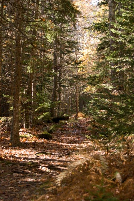
These two adjacent properties may be a little off the beaten path, but they are well worth tracking down for a visit. Linekin Preserve was created in 1994 when Ann and Walter Levison donated 95 acres of trail-laced land between Route 96 and the Damariscotta River to Boothbay Region Land Trust (BRLT). The Levisons also donated a trail easement of an additional 921 feet along the river’s edge which allowed for another waterside path for hikers. More than a decade later, in 2006, Linda Burley, the daughter of the late William and Lina Burley, fulfilled her parents’ wishes by donating 43 acres of land adjacent to the Linekin Preserve to BRLT.
Burley said her parents, longtime summer residents who retired to Boothbay in 1972, loved the woods and thought that people should be able to walk the land.
On the Ocean Point peninsula in East Boothbay, the Linekin Preserve and the Burley Loop present various hiking opportunities. Hiking trails totaling 2.75 miles link the two properties and provide public access to 138 acres of wooded land, views of the Damariscotta River and a variety of terrain. Linekin Preserve includes 651 feet of shorefront and offers scenic views across the river to South Bristol and seaward to the White Islands via several loop trails.
Most of the trails are easy to moderate for hiking; the trail from the main trail down to the shoreline is steep and somewhat challenging.
Evidence of old fencing and stone walls suggest that the Linekin Preserve at one time was pasture, most likely for sheep. Because of the unsuitable terrain and rocky and shallow soils, crops were probably not grown here. After grazing was discontinued around the time of the Civil War, the land quickly reverted to forest.
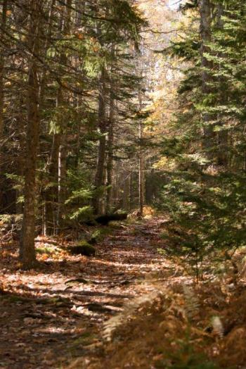
A mixture of red spruce, balsam fir, white pine, red oak, red maple and eastern hemlock is found in that order of abundance. A few green ash, gray and white birch and sugar maple can also be found.
Among the things to see just off the loop trail are a beaver dam and a lily pond. A large sawdust pile and evidence of an old sawmill indicate that the land was probably once used as a commercial source of timber.
The land was last logged in the late 1940s. Hikers can enjoy views of a unique forest because, unlike much of the region, the Burley lands were never logged and contain many spectacular trees. A woodland pond with ledge on the property provides yet another opportunity for hikers to rest and take in the beautiful vista.
Hikers are requested to stay on the trail and respect the privacy of the Levison family. From Route 27 in Boothbay Harbor, take Route 96 and proceed 3.8 miles. The Linekin Preserve and Burley Loop parking area is located on the left. For more information on Boothbay Region Land Trust or any BRLT properties, contact the office at 633-4818 or brlt@bbrlt.org.
Event Date
Address
United States

