Returning to Wiscasset’s Eaton Farm Preserve
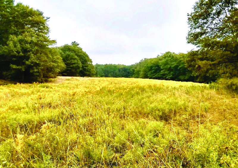
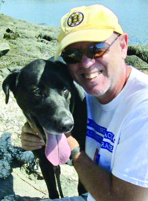
Nine years ago, I first told you about Wiscasset’s Eaton Farm Preserve, a part of Chewonki Foundation’s Back River Trail System. Bo, my dog and I returned there recently to see how the network of trails is holding up and I’m pleased to report very good. On two separate visits we covered nearly all of the peninsula that’s bordered by Back River and Chewonki Creek. The paths continue to be easily followed as they wind their way through pine, broadleaf trees along with a vast meadow in full bloom with yellow golden rod, blue white and asters and Queen Anne’s lace.
Eaton Farm Preserve is 3.2 miles south of the Wiscasset Municipal Building. Follow Route One until you come to the Route 144 exit by Norm’s Used Cars. Turn left here and continue until you come to Ready Point Road; the first right past the airport. Follow Ready Point Road to the fork, bear left to the preserve. The gravel road is well-compacted and in much better shape than it used to be. As I drove along, I noticed sumac and alders have grown up at the site of the old Plumstead home that stood here for more than 100 years. In the early 1900s this area was all cleared farm and pasture land where hay was grown and sheep and cows grazed. As you round the curve you’ll next pass the site of Eaton Farm itself which was still standing in the 1980s. As I remember it, it was a wooden two-story building, painted yellow with a rambling front porch facing the river. It was demolished years ago; the place where it stood was on a small hill behind four towering pine trees. Across the road from the homesite are a few ancient apple trees and a grove of wild blackberries. Just ahead is the preserve’s parking area, with a small kiosk and a self-explanatory topographic map.
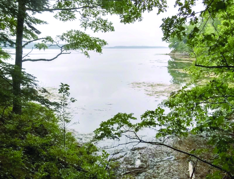
This map has been here for years and really needs updating. The “South Loop” shown on it begins just behind the wooden gate and follows the peninsula’s perimeter. Not shown are other newer paths crisscrossing the preserve, or the onetime wagon road running through the middle of the property. Before exploring these other paths, I’d suggest following the main trail beginning on the righthand side. It’s a 1.8-mile loop that carries you alongside a small saltwater inlet on the western side separating Eaton Farm Preserve from Young’s Point. The path is well-traveled, easily followed, and brings you out to a wide body of water called “Broad Cove” where a rocky point juts out over the water.
The trail is hard-packed but mountain biking would be a challenge because there’s lots of roots and rocks to make it a pretty bumpy ride. The path gradually rises to a lookout point over the cove but then dips down to a muddy stream. There’s no bridge but you can easily hop across the sluggish water. From here the way rises again overlooking the shoreline. The way is marked with small, tin discs, white with a blue osprey on them. They appear at irregular intervals tacked to trees.
As the path winds around the point look for a stone embankment ; behind it is a wider path that once served as a tote road when hay was harvested here. It carries you through the center of the preserve passing a small weep spring that’s mostly dry due to the lack of any recent rain. If you choose instead to stay on the main loop, it brings you to a second point overlooking Back River. Across the water you’ll see Foxbird Island and nearby Bailey Point which was once the site of the Maine Yankee Nuclear Power Plant. The generating plant operated there from 1972 until 1996 when it was decommissioned and later dismantled. In 2007, Maine Yankee’s ownership donated the Eaton Farm property to Chewonki Foundation.
The perimeter trail runs northwards through the woods to the meadow and eventually back to the parking area. Paths through the meadow had been mowed during the summer making the walking much easier. One on the eastern side follows the shoreline where a number of smaller side paths lead through the trees to the water. Along the shoreline beyond the marsh grass are patches of sea lavender. The shoreline here has long been a place for marine worm digging and there were four or five diggers working the mudflats during my visit which happened to be during low tide. A newly established oyster farm operated by Luke Saindon is just south of the Eaton Farm peninsula near Oak Island in Woolwich.
Eaton Farm Preserve is open year-round dawn to dusk. Motorized vehicles are not allowed. Camping and campfires are also prohibited; dogs should be leashed. The trails are suitable pretty much for all ages. Hiking footwear is recommended but not necessary. One more thing, we didn’t encounter any ticks or mosquitoes during our recent visit but of course it’s always a good idea to take precautions.
Phil Di Vece earned a B.A. in journalism studies from Colorado State University and an M.A. in journalism at the University of South Florida. He is the author of three Wiscasset books and is a frequent news contributor to the Boothbay Register-Wiscasset Newspaper. He resides in Wiscasset. Contact him at pdivece@roadrunner.com


